I was at the Military Archives a couple of days ago, starting what looks as though it will be a long piece of research on an unexpected personal project, the collation of as much information as I can find on the subject of the EIRE signs which are being documented here. It was my first time at the archives, indeed in any archives at all, so I want, at this point, to take the opportunity to state that I found the staff at the Military Archives to be helpful far, far beyond my expectations. They are an absolute credit to their employers.
Part of the reason I was at the archives was to look at the logbooks of the lookout posts to find references to the construction of the signs. As far as I am aware, the signs were built between late 1942 and early 1944 with various adjustments to the signs in between time. I don’t have anything more exact than that for the moment. This means I’m at some disadvantage when looking at the log books – there is simply no short cut but to go through them all. There are 82 sets log books, and so, this is no small job. In a way, it is absolutely daunting.
Given the constraints of time, I requested one set of logbooks initially to basically get a feel for the sort of information and data I would be working on and the station I selected was Baltimore in County Cork. The EIRE sign associated with this post is still in place having been, I believe, renovated a few years ago, and while there’s an argument for starting from the beginning, with number 1, I chose, for my own reasons to start with number 29 because I am from Cork myself, although a long way distant from Baltimore. The county of Cork is not that small in the Irish scheme of things.
I’ll cut to the chase and state that I drew a blank on any comment about the sign and this piece is not about the sign in any case, it is purely the reason that on a beautiful April afternoon, I found myself sitting in a reading room in Cathal Brugha Barracks in Rathmines, visiting a place and time that is quite far away now. I looked through the logbooks for 1940 and for 1942 (and came no place close to being finished with them) the other day and I was quite simply mesmerised at just what extraordinary documents they are. So much so that I have other plans for research ideas regarding these documents when the signs project is more or less complete.
The logbooks were written by volunteers of the coastal watch service during the war. There is an excellent book on the subject of the coastal watch called Guarding Neutral Ireland by Michael Kennedy which I strongly, strongly recommend reading if you are interested in Ireland’s history during the second world war. I want, at this point, to talk about some of the things which struck me most about the logbooks themselves, and the utterly different world that they pointed to. A world which I strongly suspect is now beyond the imagination of a lot of people in this country; not just because there was a war going on, but because it really, really was a completely different world.
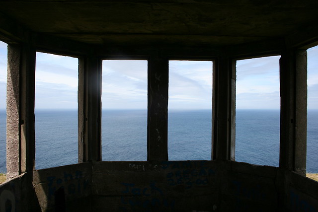
The logs were written into specially printed books called LOP logbooks. LOP stood for Look Out Post, and Baltimore, in Cork, was L.O.P. number 29. There were 83 of these dotted around the coast at approximately 10-12 mile intervals – that would be 16-20km intervals for the modern amongst you – and they were located to maximise coverage. Their locations bore a lot in common with previous efforts to coastwatch in Ireland so many of them are near or in the shadow of 17th and 18th watch towers, for example. Baltimore is not an exception, it lies just in front of what I believe is Spain Tower, a 19th century signal station for that particular coast watch. The tower is in better condition now than the look out post is.
The first records from the look out post in Baltimore were written in pencil, between the nice wide lines which were pre-printed. They are largely legible, although the paper itself is very clearly old, from times past. It smells that way and above all, it feels that way. The front cover is missing off it; it is missing off at least another one. At some point in 1940, however, someone decided they would get more use out of the logbooks if they ruled between the lines as well. From then on, every page I read was ruled between lines either with a normal led pencil or a garish pink colour which I believe to have been a pencil rather than a pen. I need to look at it more closely.
The handwriting, for the most part, is immaculate, and very, very legible, be it in pen or pencil, although somewhat easier in pen, even where the books were subject to some sort of water damage. They contain the mundane “took over watch” and “handed over watch” comments at every watch change which was 8am, 4pm and midnight. Each change of watch was signed off by what I assume was the NCO for the post – I don’t know enough yet. Interesting things struck me – I could tell when the pen was refilled with ink, for example, between the heavier flow, and, additionally, the increase in the number of blots which were noticeable. There are key stylistic differences between the early 1940 log and the 1942 documents – the 1942 documents were much more regimented and organised. The 1940 log had, in certain respects, more detailed and frequent weather information. Descriptions of planes were significantly more detailed in 1942 (and frequent). One log describes a plane flying around the Fastnet a number of times.
Little detalis caught my attention – reports of explosions, followed some hours later of phone calls from Baltimore Garda Station inquiring whether specific local and overdue trawlers had been seen. I assume that with no further queries – every call was logged – the trawlers turned up.
The next nearest LOP to Baltimore was in Toe Head, and Toe Head occasionally called to see if Baltimore had noticed things they had, or to confirm the sounds of explosions. There were regular exchanges of information with respect to the locations of mines. Initially, every observation of note relating to shipping and trawlers, and aircraft, were reported to Cork IO; by 1942, the messages were being relayed to Cork Message Centre instead. The phones, while a technical marvel to be located where they were, were regularly subject to test calls. Most daily reports in Baltimore related 1 or more test calls from the Garda Barracks in Skibbereen, often noted as Guarda Barracks, Skibb, at least one a day from Skibbereen Exchange, and, as 1942 wore on, Cork Telephone Exchange started to appear every few days.
Mizen Head occasionally contacted Baltimore with expected arrival dates for Irish ships leaving Lisbon with the request that the LOP volunteers watch for the ships.
Vessels heading for Baltimore Harbour were reported to the Garda Siochána in Baltimore; the planes and other ships generally went to the Message Centre in Cork. On one occasion, the Barracks in Baltimore contacted the LOP requesting the volunteers to watch for a man who had been spotted near the Beacon with a receiving set, and to hold him if possible and contact them immediately on sighting. No further comments about that appear from which I only conclude that the man with the receiving set was not located by the volunteers of the LOP.
At the end of 1942, the authorities took a substantial interest in the behaviour and location of a Spanish fishing trawler in the area, to the extent that as its stay at an anchorage point outside Baltimore wore on, the volunteers at the lookout post were reporting whether it had moved or not almost every hour. This was very different to the comments about the various other trawlers which passed, either nationality unknown, or nationality British and a registration number or name given.
Mostly, ships and aircraft passed nationality unknown, but as 1942 wore on, the descriptions of the planes, in particular, become more detailed. And one ship which passed was marked as nationality Panama.
A lot of things fascinated me about the books such as I have had time to study the first of them. Certain things struck me about the use of language, even limited and all was it was to specific subjects. And for every one person who has a mobile phone with a 9 digit number, it’s remarkable to see comments about personnel calling Kinsale 21. Imagine that, a two digit phone number. The verb to make a call to another location was “call up” as in “Called up Skibb Guarda Barracks”, and yes, Guarda featured as a spelling on several occasions. That aside, the spelling was generally accurate with the occasional recourse to the less frequently used Mizzen head rather than the current standard, Mizen. Elements of the handwriting also fascinated me.
I have, at the moment, a mandate to review these logbooks to support one personal project, the Eire signs. But as I start to read them, to look at them, and seeing some of the comments about those logs in Michael Kennedy’s book on the coastal watch service, I see other projects, not necessarily war installation or direct war history coming out of them. If I didn’t have to work all day, I could spend my days reading them given how fascinating them are.